
ORBIS
Data side of your mission, run for you
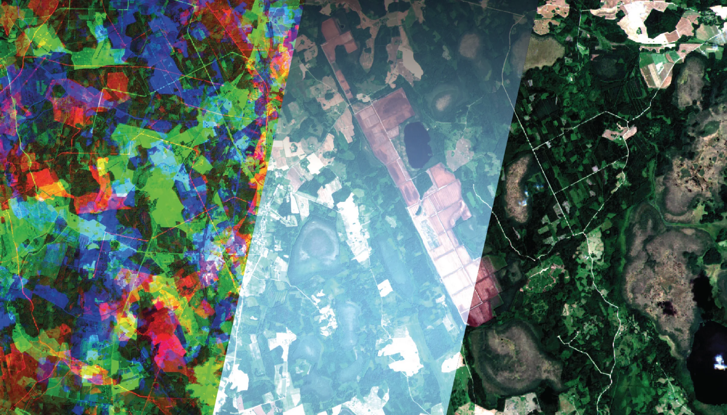
ORBIS is an automated service for processing optical payload data tailored for small Earth observation satellites. It covers the payload data ground segment, including both orchestration and processors for radiometry, geometry, or quality control. It also covers mission simulator, tasking module, or algorithm hosting on top of your data.
Alongside the software sits the service work: regular calibration and validation, user requirement collection, use case design and end-user demonstrations, or mission-success support.
It is mission-repeatable by design. One managed deployment can run several concurrent satellites for different customers, which is what makes it affordable for an operator.
Where we stand
ORBIS is not a concept. The validated baseline is running on a mission in space and with a commercial customer. Now, we are increasing its scalability. More concurrent missions, more payload types, on selected infrastructure.
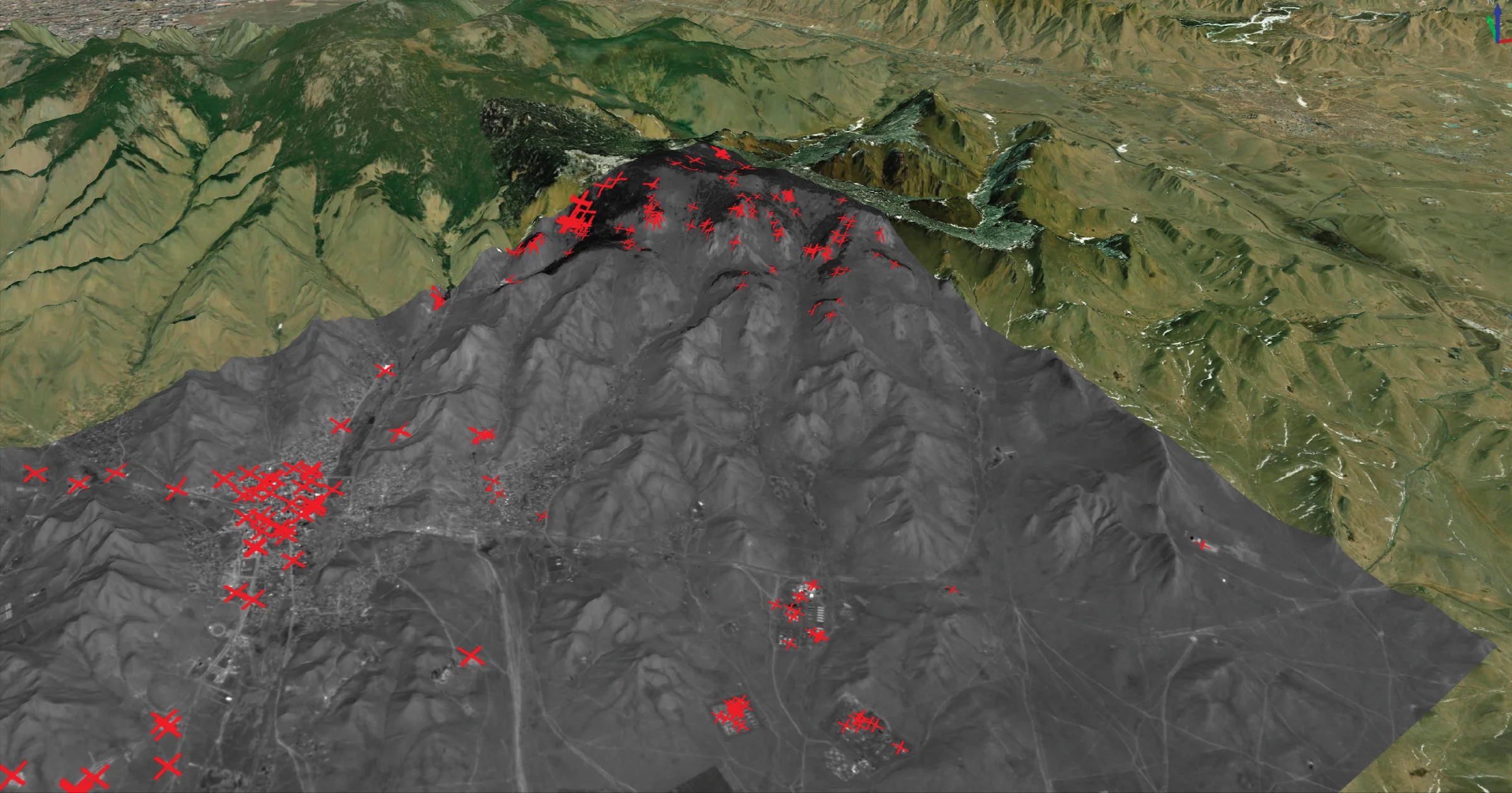
Geolocation accuracy check over a 3D terrain model
What a mission gets
-
{{ c.title }}
{{ c.body }}
National mission
AMBIC, the Czech national Earth observation mission
AMBIC is the Czech national Earth observation mission, run with VZLU Aerospace under ESA guidance. Its payload data ground segment is a customised ORBIS. The same system, configured for this mission.
It serves dual-use needs alongside civil state users: the State Agricultural Intervention Fund for agricultural monitoring, and CENIA, the Czech Environmental Information Agency, for environmental reporting.
Research and development
ESA national framework contracts
-
{{ p.name }}
{{ p.meta }}
{{ p.status }}
{{ p.body }}
{{ p.partners }}
Talk to us
Technical enquiries · orbis@worldfrom.space
-
{{ c.area }} {{ c.name }} {{ c.role }} {{ c.mail }}
{{ c.phone }} {{ c.phone2 }}