
Track record
150+
Projects and services delivered since 2017, in 40+ countries.
- {{ n.v }}
- {{ n.l }} {{ n.n }}
Payload data ground segment
Secure dual-use EO systems
The ground segment, calibration and processing chain serves both civil and security programmes. What changes is where it runs and who operates it. We deliver it as ORBIS, in the cloud or entirely on your own infrastructure, with data authenticity preserved from downlink to product.
Defence & Security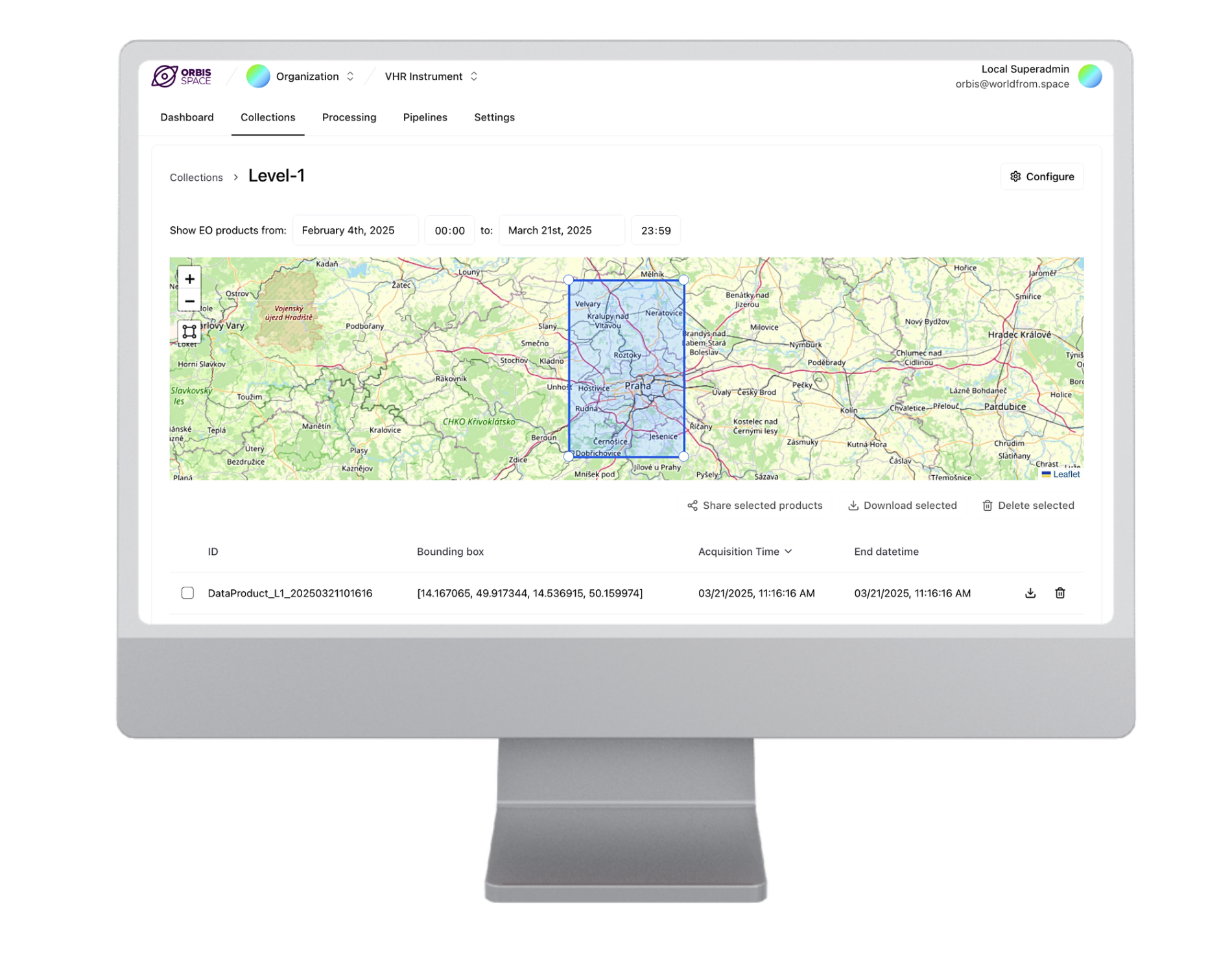
National mission
Building AMBIC, the Czech national Earth observation mission
A national mission led by VZLU Aerospace, aimed primarily at governmental and dual-use tasking. Our scope is the data and the people who use it. That covers requirements gathering and stakeholder engagement, data-product definition, in-flight calibration and validation, data quality, the payload data ground segment, and the archive and distribution to end users.
Accessible. Proven. Profitable.
Automated crop intelligence at scale
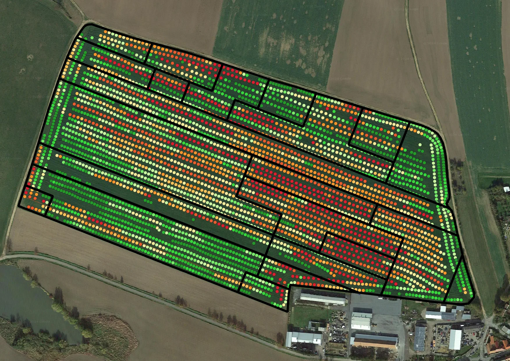
Satellite crop monitoring, growth stage predictions and prescription maps, with no imagery handling on your side. We deliver it as DynaCrop. Software companies get an API, everyone else gets maps, reports and an application. We built it and we run it, in production from 2020, in more than twenty countries now.
- Crop monitoringCondition, growth stage, productivity
- Variable rate applicationsSeeding, fertilising, plant protection
- Soil samplingZone-based, based on satellite and yield
- IrrigationCrop water status, moisture stress
Talk to us
Book a meetingSix contact points for our team.
-
 Company
Jan
Labohy
Chief Executive Officer
labohy@worldfrom.space
+420 603 546 994
-
 Ground
segment and dual‑use
Roman
Bohovic
Chief Technology Officer
bohovic@worldfrom.space
+420 608 604 610
-
 Delivery
Anna
Irska
Head of Delivery
irska@worldfrom.space
-
 Agriculture
Ervin
Csoke
Sales Manager
csoke@worldfrom.space
+420 608 830 841+381 641 144 151
-
 Forestry
and other sectors
Matus
Pivovar
Customer Success Manager
pivovar@worldfrom.space
+420 774 936 336
-
 Administration
Zdenka
Mauerova
Office Manager
mauerova@worldfrom.space